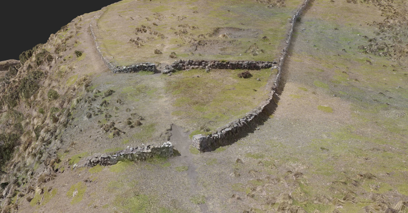
In terms of creating quality data for scientific research, the team’s GIS expert will import the 3D point cloud from DroneDeploy into ArcGIS and analyze the site’s location compared to the expected progression of lava and mudslides after a major volcanic eruption. They have also equipped their DJI Inspire with infrared and multi-spectral sensors. Grass […]