
Although it seems impossible to anyone immersed in the world of UAVs, the go-to method that aerial archaeologists use to document a site like this is kites. As in: program a camera to automatically take pictures, strap it to an ordinary beach-flying kite and let it loose. Sometimes they use helium balloons or helikites, but the general idea is the same. Most archeological sites are just too small for manned aircraft photography to be feasible. A ground survey is sometimes an option, but it is time consuming and runs the risk of causing damage to a fragile site.
“Drone maps are a game changer,” says archeological researcher Benoit Duverneuil.
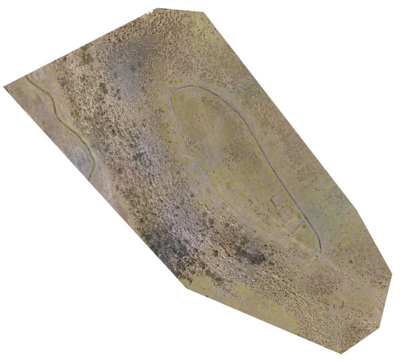
Needless to say, kites and balloons are a less-than-ideal solution for documenting archeological sites. For an area like the Pucará of Salitre, spanning less than an acre, it could take between three to five days to capture the right images this way. Once this time-consuming process is finished, the pictures can be used to create a visual record, but they are not adequate for further analysis and data interpretation .
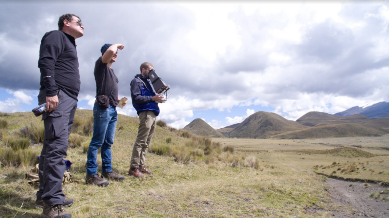
Compared to the five days it would have taken to capture the Pucará with traditional methods, Benoit’s team spent a total of fifteen minutes flying the site with their drone. Once they were back in reach of Wi-Fi, they uploaded their images to DroneDeploy in ten minutes and spent another five hours processing the data into various outputs. When they were done, the team had a comprehensive orthomosaic map, elevation data and a high-resolution 3D model, all acquired in less than a day’s time. This rich data set was gathered five times faster than with traditional methods, and it was all done without treading on the fragile landscape.
3D-Printed Models and Infrared Sensors Provide Exciting Opportunities for Analysis
Benoit and his team are especially excited about the amount of data they can capture with drone mapping technology. They hope this information will be used both for scientific research and also to help the public recognize the beauty of these sites and how important it is to preserve them.
To this end, the team is experimenting with the best ways to make 3D printed models of the sites they map. 3D printing is already used as a tool to recreate historical artifacts for museum and art house exhibitions. Benoit points out that it not only helps preserve artifacts, but it also makes them more accessible and tangible to the public. After mapping the Pucará of Salitre, he and his team used the 3D model they generated in DroneDeploy, exported the model into 3D software and transferred it to a file format that is suitable for most 3D printers. They are currently experimenting with different materials, colors and scales to find a method that creates the best possible 3D-printed model.