Drone-Generated 3D Models Improve Collaboration, Speed Up Design Cycle by 70%
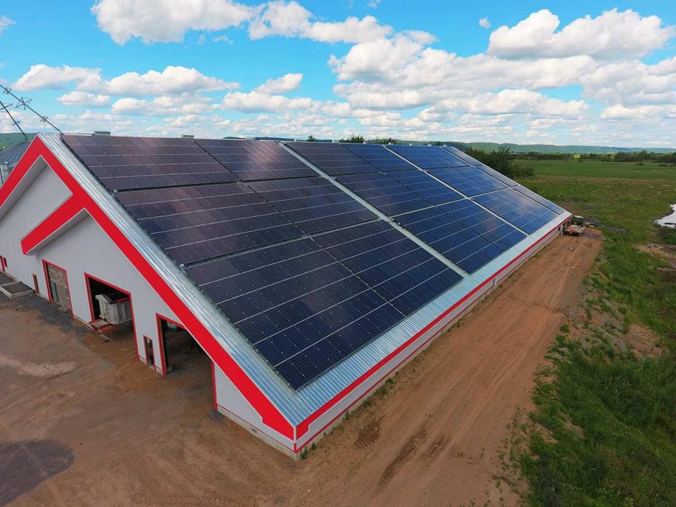
For this calf barn, Albert took 100 images at a height of 100 meters. He processed the images in DroneDeploy to create a high-resolution orthomosaic map and 3D model. Thanks to DroneDeploy’s built-in measurement tools, initial rooftop measurements can now be taken with the click of a button, saving several hours of hand measuring right from the outset. Albert notes that this also makes for a safer process, as it reduces the amount of time spent on the roof.
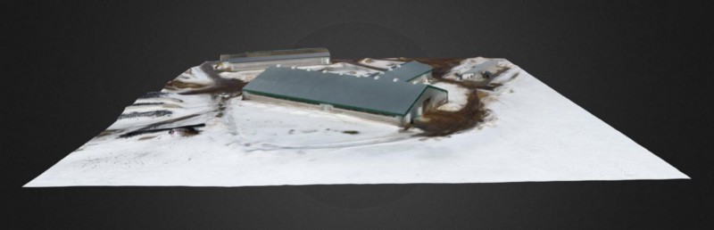
After taking initial measurements, the detailed 3D-point cloud is exported from DroneDeploy and integrated into 3D Aurora, where the design team gets to work. They use the 3D models to complete shade designs and radiation maps right on top of the model, sharing and modifying the designs quickly and easily. “Now we can design directly from the images, says Albert. “We have the tools to simulate the roofs in a fraction of the time,” says Albert.
With better imagery and a 3D model that can easily be manipulated as part of a team collaboration, the entire design process for this calf barn was reduced from about ten man hours to just under three hours, representing a time savings of 70%.
In addition to the man hours iSolara saved by using 3D mapping software, Albert points out that using a drone-generated 3D model during the design process greatly improved collaboration. A process that once took several weeks of back and forth now takes just a few days.
“With drones we save weeks on the turnaround time from initial design to deployable design.” -Albert De Sousa
3D Mapping Increases the Impact of Sales Proposals
Not only was iSolara able to speed up the design process on this project, but opportunities for increased team collaboration made for an overall better-quality proposal. “The collaboration aspect of it is pretty amazing,” says Albert. “We can design directly from the images. This is not only a time savings but a better quality because it allows for collaboration.”
The availability of aerial mapping imagery is a value-added for installation contractors and project owners as well. Albert says that contractors appreciate understanding a project’s components, location and complexity prior to going to the site. In some instances, this even reduces extra site visits from the schedule.
And finally, the presence of high-resolution imagery increases the impact of iSolara’s proposals, which, at the end of the day, helps win customers. Says Albert, “We want to show people that solar is beautiful as well as an asset, that it is designed for longevity.” The 3D models they create using DroneDeploy are helping to do just that.