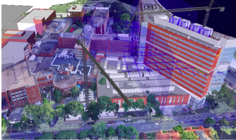
Integrating Drone Point Clouds in BIM Enables Powerful Analysis A completed drone-generated point cloud is just the beginning. The real power comes once that model is integrated into BIM software. The Brasfield & Gorrie team generates point clouds in DroneDeploy and then imports data into Autodesk Revit, where they overlay it with the 3D site plan […]
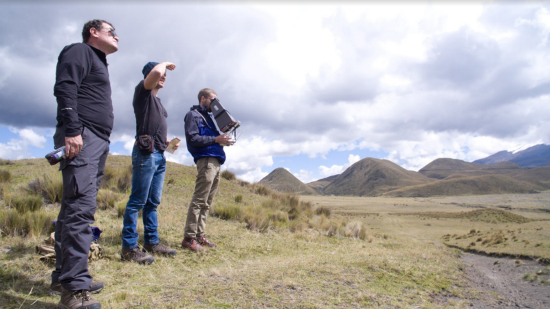
Although it seems impossible to anyone immersed in the world of UAVs, the go-to method that aerial archaeologists use to document a site like this is kites. As in: program a camera to automatically take pictures, strap it to an ordinary beach-flying kite and let it loose. Sometimes they use helium balloons or helikites, but […]
Virtual design and construction teams are quickly discovering the value that drone mapping brings to all stages of a construction project, including initial site survey and design, volume and elevation measurements and comparisons, and quality assurance. In a fraction of the time it takes to conduct a ground-based survey, a drone can automatically fly and […]