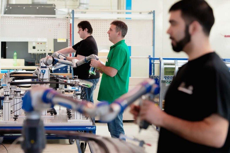
I can best describe what I mean by “full-stack engineer” using the analogy of a new product introduction (NPI).

I can best describe what I mean by “full-stack engineer” using the analogy of a new product introduction (NPI).

Yes, developing an application that works on both Android and iOS can be a real problem. For example, the UI / UX design approach for these two most popular mobile operating systems is strikingly different. When adapting an iOS application to work with Android, it is necessary to take into account both the technical features […]

FARO has announced the availability of RevEng. The advanced software platform provides FARO Design ScanArmandFARO 8-Axis FaroArm system users with a powerful tool that enables a comprehensive digital design experience.

For those following the rising use of 3D printing for prosthetic replacements, you may have noticed that humans aren’t the only ones benefiting from these constant breakthroughs in 3D printed assistive devices.

A composite combines two (or more) photographs to create one – rather convincing – final image. This is rendered significantly less complicated thanks to the advent of digital photography, digital editing, and an ever expanding set of features and tools available with modern software and apps.

One of the main advantages of Fortnite over PUBG is optimization. The game goes well even on older machines, if they have a good processor. But there is always a way to increase productivity. In this section, we look at the methods that give the biggest exhaust. How to increase FPS in Fortnite Settings – […]

Let’s have a look at the top 10 Best PC Games 2019 that you need to try this month as they are with some amazing graphics. So have a look at these games below.

Creating a video game bereft of any actual video might seem like an unusual idea.

In past few years, we have seen a lot of crazy concepts at trade shows, but at TCT Asia 2018 were something happened that actually did blow your socks off. The Hangzhou based DediBot stole the spotlight at TCT Asia 2018 with its flying 3D printer. The concept called the Fly Elephant, a flying 3D printer, yes […]

Bringing lightweight components into series production requires profound knowledge of materials – and that is the crux: The behavior of novel materials and structures is difficult to calculate and production processes are subject to different principles than for metal construction.